Abstract: Rough Ridge Creek is a tributary stream to the Tellico River in the Cherokee National Forest (Big Junction Quad Map). It is easy to access from Forest Service trail 210G; brook trout become more abundant about a mile upstream. There are no significant waterfalls but rhododendron does get thick in the upper reach. There are about 2 miles of fishable water with nice places to camp. The trail follows a gentle grade close beside the stream.
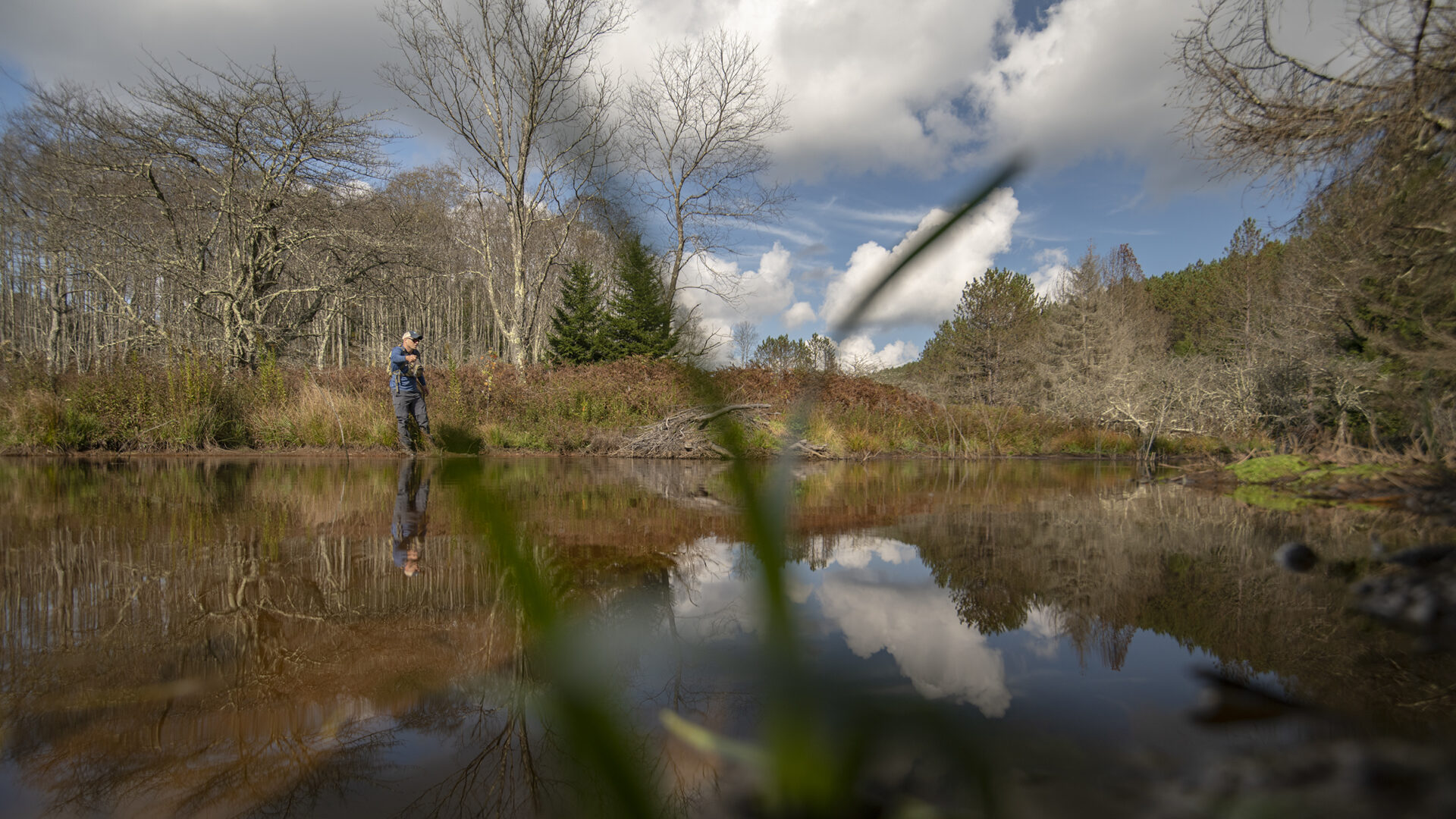
Rough Ridge Creek is a tributary to the Tellico River/Little Tennessee River in the Cherokee National Forest (Big Junction Quad Map). Its headwaters are almost 5000 feet in elevation with the highest area being on Grassy Top (4979 feet). At its confluence with Tellico River (2530 feet in elevation), Rough Ridge Creek is very near the North Carolina state line. The ford across the creek puts you into that state.
 A hiking trail (FST 210G) follows the creek at a nice even grade for about 1.7 miles. There are no significant waterfalls on this stream and rainbow trout occupy the entire stream. From the Tellico River upstream for about a mile, Rough Ridge Creek is a moderate sized creek – about 10 to 15 feet wide; the gradient averages about 1%. It is relatively open making casting, especially roll-casting, fairly easy. The rainbow trout are numerous in this reach and easy to catch.
Near the first live tributary flowing in from the north there is a narrow point in the stream with a “leaky” waterfall. At high flows water plunges over the pile of rocks in the stream but at low flows, the water seeps between them and trout can easily migrate above this minimal barrier. In 1985 the Forest Service attempted to create a barrier at this point but it was never successful. Despite the ineffectual barrier we also attempted to reduce the rainbow trout population in this upper reach. Rotenone and electrofishing were both employed but the rainbow trout have persisted and the proportion of brook trout in the upper reach continues to decline.
This upper reach is choked with rhododendron and fishing is difficult. The stream forks where the trail crosses it. The right fork is the larger and holds the best hope for catching brook trout. The left fork has an old road/trail beside it that leads up to an old home site with a large pond. The pond has a good flow of water into it and appears to be deep enough to support trout but I have never seen anything in it, except newts.
Access Rough Ridge Creek from the Tellico River Road (Forest Service Road 210). Park at the gated road and hike up the trail (FST 210G) or begin fishing at the low-water ford. This streams makes for an easy day trip but to get to the brook trout you will need to walk the trail for a while before beginning to fish or you’ll spend all your time with the rainbow trout.
Current regulations allow year-round fishing with flies and lures only; a three fish per day limit with size limits is imposed.
Submitter: Jim Herrig
Date Submitted: 3/21/2007
Name: Rough Ridge Creek
Location and Access: In Tellico Plains (at the junction of Hwy 68 and 165), drive east on Hwy 165 (Tellico-Robbinsville road or Cherohalla Hwy). At the east edge of town stay on Hwy 165; do not turn onto Hwy 360. Continue on Hwy 165 for about 5 miles. It parallels the Tellico River and crosses it once. Just passed the Oosterneck pulloff, take Forest Service Road (FSR) 210 toward Bald River Falls and the Ranger Station. Continue on FSR 210 for about 20 miles to the end of the paved road at the state line. Hike the trail (FST 210G) up Rough Ridge Creek or begin fishing at the ford.
Fish Species: Rainbow and brook trout
Regulations: Single hook, artificials only; 3 fish per day; 6 inch size limit for brook trout.