Abstract: Sycamore Creek is a tributary stream to the Tellico River in the Cherokee National Forest (Big Junction Quad Map). It is easy to access from Forest Service trail 163; southern strain brook trout become abundant about 2 miles upstream of the confluence. There are no significant waterfalls until you get to the very upper end of the stream where the brook trout are. Even these falls are only about 10 to 15 feet high. There are about 4 miles of fishable water in Sycamore Creek; it has a trail with and easy grade beside it most of its length.
Sycamore Creek is a tributary to the Tellico River/Little Tennessee River in the Cherokee National Forest (Big Junction Quad Map). Its headwaters are over 5000 feet in elevation with the highest area being on Haw Knob (5470 feet). Sycamore Creek has its confluence with Tellico River at 2100 feet in elevation. A hiking trail (FST 163) follows the creek at a nice even grade for about 1.8 miles. After that the trail has some switchbacks and gets away from the stream for about 1.5 miles. It returns to the streamside but leaves it almost immediately as it proceeds to Forest Service Road 61.
From the Tellico River upstream for about 1.8 miles, Sycamore Creek is a moderate sized creek – about 10 to 15 feet wide; the gradient averages about 6.5%. It is relatively open making casting, especially roll-casting, fairly easy. The rainbow trout are numerous in this reach and easy to catch. Above the confluence with Mangum Branch, the stream gradient gets steeper and the channel narrows down. Brook trout become more plentiful in this section. The channel gets smaller over the next 1.5 miles with bedrock and large boulders dominating the substrate. The trail returns to the stream side at this point. Several bedrock waterfalls isolate the brook trout from rainbow trout in this area.
In the 1990’s the Forest Service, Tennessee Wildlife Resources Agency, and Trout Unlimited rebuilt the barrier used to divert water into the Pheasant Fields Fish Rearing Facility. The dam could, eventually, be used as barrier to keep rainbow trout and other species out of Sycamore Creek if the entire stream were renovated for brook trout. Sycamore Creek could become one of the largest streams with southern strain brook trout providing a key source for future re-stocking efforts.
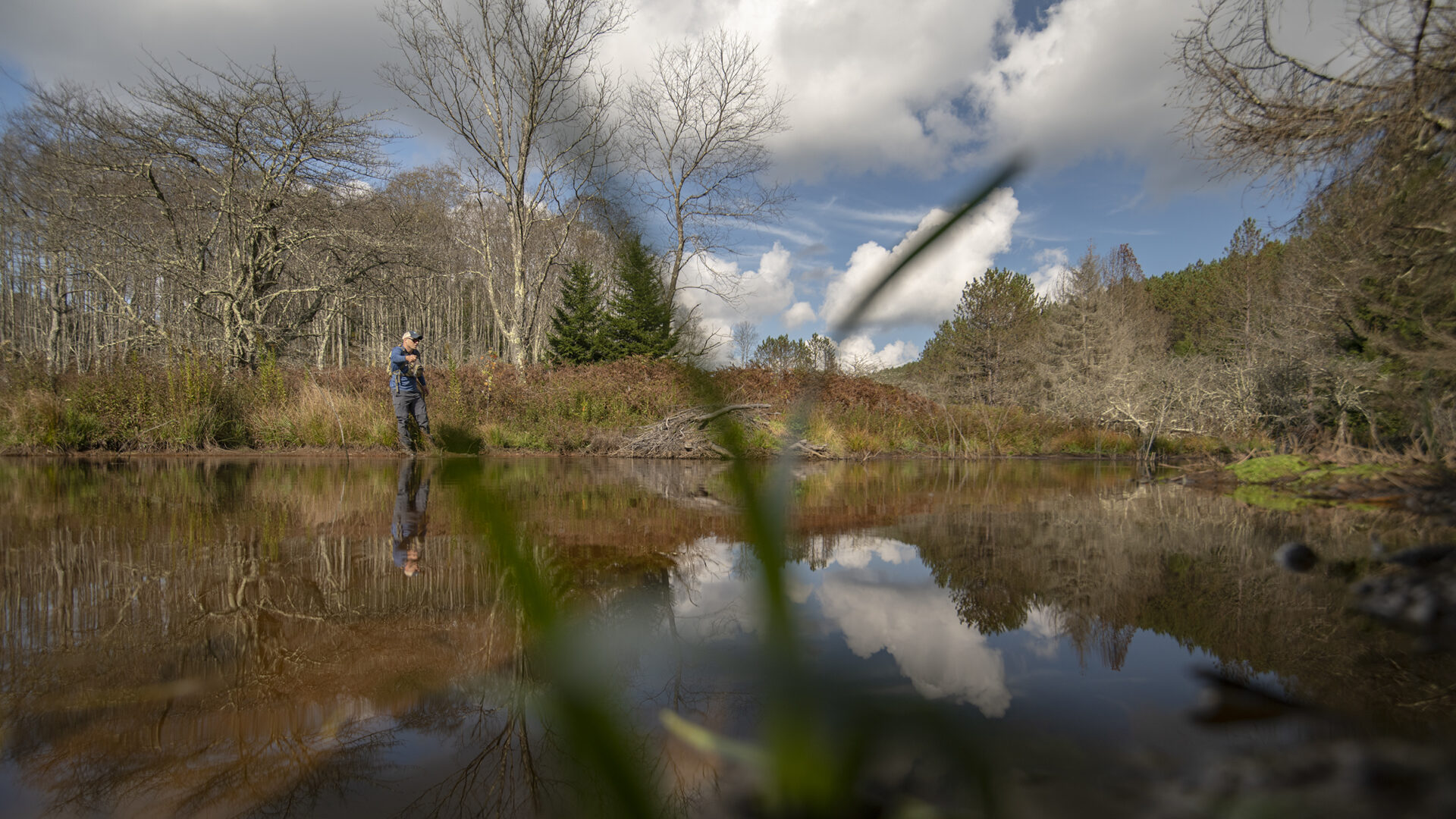
 This stream is fairly open for casting throughout its length. Dry flies are always taken in Sycamore Creek regardless of the month of the year. Beginners should really enjoy the lower stretch with its openness and abundance of trout. The upper stretch is a physical climb with much rock scrambling required; also, the remoteness of the upper reach makes it a bit dangerous for inexperienced climbers.
Access Sycamore Creek from the Tellico River Road (Forest Service Road 210). Park in the parking lot beside the bridge that crosses the Tellico River and goes to the fish hatchery. Walk across the bridge and turn right up the trail (FST 163) beside Sycamore Creek. The trial stays beside the stream for 1.8 providing ample fishing for a single day with several anglers but the brook trout are rare in this reach. You can also access Sycamore Creek higher up by driving up North River Road (FSR 217) to the juncture with FSR 61. Follow FSR 61 for about 2 miles to FST 163. The hike down the trail is about 2 miles but it brings you into the stretch of stream that contains only southern strain of brook trout – and lots of them.
Current regulations allow year-round fishing with flies and lures only; a three fish per day limit with size limits is imposed.
Submitter: Jim Herrig
Date Submitted: 5/28/2007
Name: Sycamore Creek
Location and Access: In Tellico Plains (at the junction of Hwy 68 and 165), drive east on Hwy 165 (Tellico-Robbinsville road or Cherohalla Hwy). At the east edge of town stay on Hwy 165; do not turn onto Hwy 360. Continue on Hwy 165 for about 5 miles. It parallels the Tellico River and crosses it once. Just passed the Oosterneck pulloff, take Forest Service Road (FSR) 210 toward Bald River Falls and the Ranger Station. Continue on FSR 210 for about 16 miles to the bridge across the Tellico River that accesses the fish hatchery. Hike the trail (FST 163) up Sycamore Creek or begin fishing right away. Alternately, to access the brook trout water, drive up FSR 210 toward Bald River Falls and the Ranger Station. Continue on FSR 210 for about 11 miles to North River Road (FSR 217). It parallels North River and crosses it twice. Continue on FSR 217 for about 12 miles to the junction with FSR 61. Follow FSR 61 for about 2 miles to FST 163. Follow the trail to the creek.
Fish Species: Rainbow and brook trout
Regulations: Single hook, artificials only; 3 fish per day; 6 inch size limit for brook trout.